Embed Size (px)
Citation preview
Rencontre franco-espagnole de réalité virtuelle et interaction graphique
Girona, December 2007
3D urban GIS
methods and tools for modeling, simulation and visualisation of urban data
Guillaume MoreauEcole Centrale de Nantes - CERMA / IRSTV
http://www.cerma.archi.fr http://www.irstv.cnrs.fr
Environment
• Ecole Centrale Nantes– Computer Science Dept
• CERMA lab– Architectural and urban ambiances– interdisciplinary research (thermics, acoustics,
architecture, CS…)
• IRSTV : Research Federation on Sciences and Techniques of the city– 13 partners– all research topics related to urban management and
sustainable development
• Talk is only focused on VR/AR related aspects
QuickTime™ et undécompresseur TIFF (LZW)
sont requis pour visionner cette image.
CERMA Team
• 19 professors and researchers• 11 PhD students• 5 administrative and technical staff
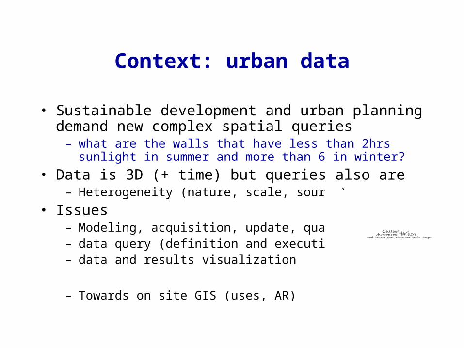
Context: urban data
• Sustainable development and urban planning demand new complex spatial queries
– what are the walls that have less than 2hrs sunlight in summer and more than 6 in winter?
• Data is 3D (+ time) but queries also are– Heterogeneity (nature, scale, source)
• Issues– Modeling, acquisition, update, quality– data query (definition and execution)– data and results visualization
– Towards on site GIS (uses, AR)
QuickTime™ et undécompresseur TIFF (LZW)
sont requis pour visionner cette image.
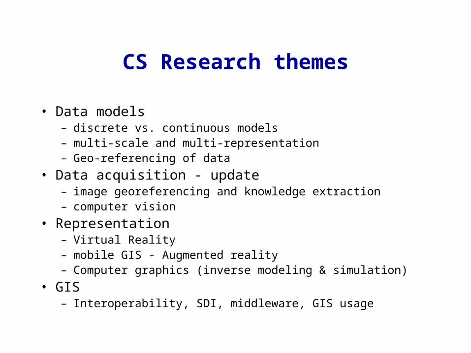
CS Research themes
• Data models – discrete vs. continuous models– multi-scale and multi-representation– Geo-referencing of data
• Data acquisition - update– image georeferencing and knowledge extraction– computer vision
• Representation – Virtual Reality – mobile GIS - Augmented reality– Computer graphics (inverse modeling & simulation)
• GIS– Interoperability, SDI, middleware, GIS usage

Applications: information retrieval and decision-making tools
• Outdoor augmented reality– georeferencing and local registration
• mobile GIS– visualization (light clients)– data acquisition and updating
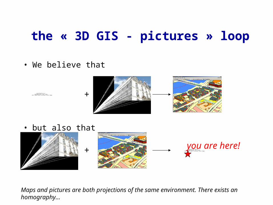
the « 3D GIS - pictures » loop
QuickTime™ et undécompresseur TIFF (LZW)
sont requis pour visionner cette image. +
• We believe that
• but also that
QuickTime™ et undécompresseur TIFF (LZW)
sont requis pour visionner cette image.+ you are here!
Maps and pictures are both projections of the same environment. There exists an homography…
[Cipolla]
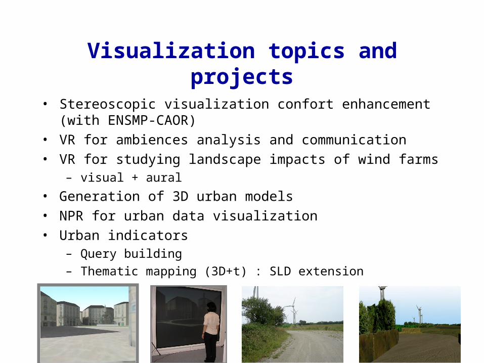
Visualization topics and projects
• Stereoscopic visualization confort enhancement (with ENSMP-CAOR)
• VR for ambiences analysis and communication• VR for studying landscape impacts of wind farms
– visual + aural
• Generation of 3D urban models• NPR for urban data visualization• Urban indicators
– Query building– Thematic mapping (3D+t) : SLD extension
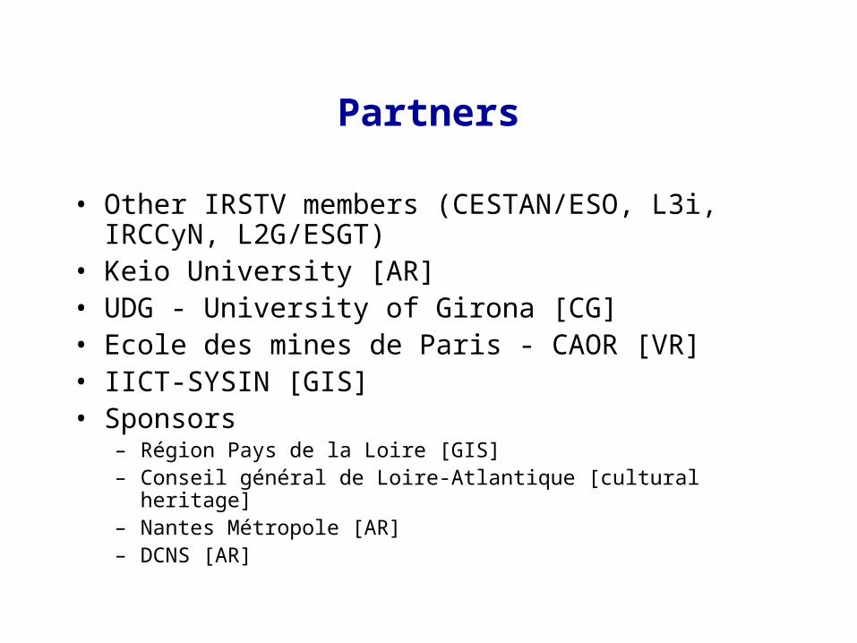
Partners
• Other IRSTV members (CESTAN/ESO, L3i, IRCCyN, L2G/ESGT)
• Keio University [AR]• UDG - University of Girona [CG]• Ecole des mines de Paris - CAOR [VR]• IICT-SYSIN [GIS]• Sponsors
– Région Pays de la Loire [GIS]– Conseil général de Loire-Atlantique [cultural heritage]– Nantes Métropole [AR]– DCNS [AR]